Cartographier les circulations internationales / Mapping international circulations
2-days workshops on digital cartography, departing from the case of Biennials.
8 & 9 June 2017, École Normale Supérieure, 45 rue d’Ulm, Paris.
From 10 to 20 on Thursday, 10 to 17 on Friday.
Artl@s project in collaboration with MoDe(s) is organizing a two-days workshop on digital and spatial methodologies for historians (not only art historians) at the École Normale Supérieure (45 rue d’Ulm, Paris ). These two days intend to show how digital technologies can influence scientific results as well as teaching in the field of humanities, and to offer participants a practical training to the use of open-source programs.
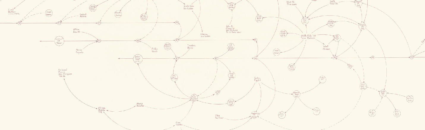
This workshop will be based on historical data that has already been collected by the Artl@s team in catalogues of international exhibitions such as biennials (Venice, São Paulo, Paris, Alexandria in Egypt) and Documenta in Kassel. At the same time, it will get the participants into issues raised by transnational history and the study of the international circulation of objects, persons, linguistic expressions and artistic reputations.
Program
Download pdf9.45-10.00 – Welcome to the participants. Installation of the required softwares.
Morning
Enjeux de la cartographie pour l’histoire. Le cas des Biennales, du catalogue à la base de données (The challenges of mapping for history. The case of the Biennals, from the catalog to the database)
10.00-10.15 – Presentation of participants.
10.15-11.00 – Introduction : Cartographier, quand même.
– Béatrice Joyeux-Prunel (Ecole normale supérieure de Paris / PSL, Artl@s).
11.00-11.45 – Biennales de la guerre froide: les sources et leurs interprétations.
– Juliane Debeusscher (Universitat de Barcelone / MoDe(s))
11.45-12.00 – Pause
12.00 -13.00 – Premières manipulations de données numériques: ARTL@S et son interface cartographique.
– Béatrice Joyeux-Prunel
13.00-14.00 – Lunch
Afternoon
Premiers pas avec QGIS. Cartographie quantitative (First steps with QGIS. Quantitative cartography)
14.00-14.30 – Getting started with QGis: mapping addresses, urban scale (Paris)
14.30-16.00 – Data preparation
16.00-16.15 – Pause
16.15-18.00 – Mapping stocks
18.00-20.00 – Comment écrire? Art, circulations, idéologies pendant la Guerre froide.
– Conference-dialogue with Jacopo Galimberti (Manchester University) and Paula Barreiro López (Universitat de Barcelona/MoDe(s), Artl@s invited professor).
ENS, 45 rue d’Ulm, salle Celan 10.00-17.00
Morning
Aller plus loin avec QGIS : Cartographier des flux (Going further with QGIS: Mapping flows)
10.00-12.30 – From stock to flow. Mapping workshop.
12.30-14.00 – Lunch
Afternoon
Le passage au récit (The turn into narrative)
14.00-15.00 – From the map to its publication: Maps layout, printing files
15.00-16.00 – Le passage au récit. La carte comme argument ?
Cartographier les lieux d’expositions à Paris, en faire l’histoire.
– Léa Saint-Raymond (Univ. Paris Nanterre) et Julien Cavero (LabEx TranferS).
Entre les cartes qu’on aimerait publier, et celles qu’on publie vraiment.
– Catherine Dossin (Purdue University, USA) et Béatrice Joyeux-Prunel (ENS).
16.00-17.00 – Conclusions and final discussion.
More information here
—
Organization: Béatrice Joyeux-Prunel with the collaboration of Léa Saint Raymond, Catherine Dossin, Julien Cavero y Paula Barreiro López.
Workshop organized by the ARTL@S program, directed by Béatrice Joyeux-Prunel, supported by the Département d’Histoire et Théorie des Arts de l’Ecole normale supérieure, the Université Paris Sciences Lettres (PSL Valorisation), the laboratoire d’excellence TransferS (programme Investissements d’avenir ANR-10-IDEX-0001-02 PSL* and ANR-10-LABX-0099), and the research project Modernidade(s) Descentralizada(s): Arte, política y contracultura en el eje transatlántico durante la Guerra Fría (HAR2014-53834-P).
![]()
![]()
![]()
![]()
![]()
![]()