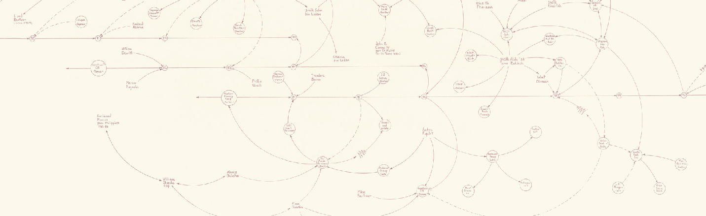
Can the history of digital art contribute to a deeper reflection on the articulation of cultural and political practices during the Cold War? We present here the first visualizations of research data obtained through Geographic Information Systems, with our first reflections on the use of these technologies.
Geohumanities
MoDe(s): second round 2018-2020!
The research project MoDe(s)-Decentralized Modernities: Art, Politics and Counterculture in the Transatlantic Axis during the Cold War is continuing with its second phase: MoDe(s)2 (2018-2020). MoDe(s)2 incorporates new themes and focuses of attention, new team members, and has already an exciting program of upcoming activities. Have a look at them!
MoDe(s) participates in the International Colloquium in Geohumanities (Barcelona, 19-21 October 2016)
The Annual Colloquium of the History of geographical thought group of the Association of Spanish Geographers, organized at the Pompeu Fabra University in Barcelona, from 19 to 21 October 2016, will include a communication by members of MoDe(s) presenting the project’s latest developments in the field of research data visualization through GIS (Geographic Information Systems).